
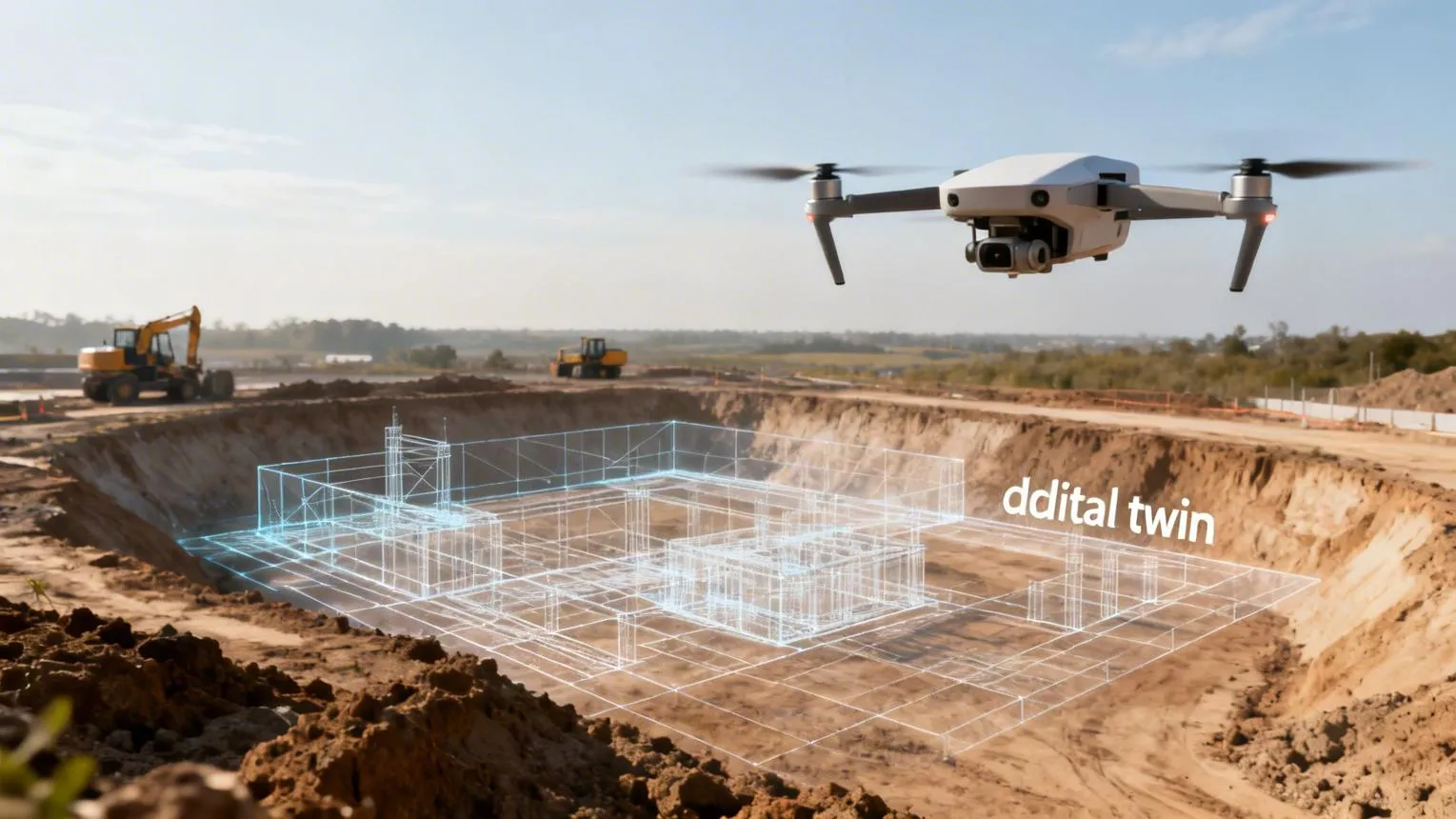
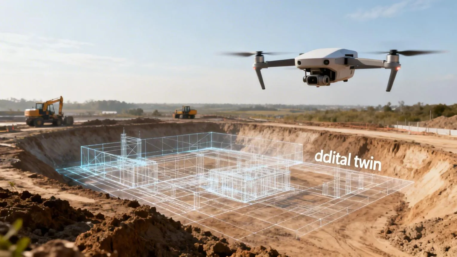
Imagine managing a construction project where you can explore the entire site in three dimensions without physically walking through every corner. You could inspect terrain, measure stockpiles, monitor progress, and compare changes over time using a detailed digital model.
This is what drone 3D scanning services make possible.
From construction sites and industrial facilities to mining operations and infrastructure projects, drones are changing how professionals collect and interpret spatial data. Instead of relying only on ground-based measurements, businesses can use aerial scanning to create detailed digital representations of physical environments.
But how does drone scanning actually work, and when is it worth the investment?
Let's explore the technology, its practical applications, and what businesses should consider before hiring a drone scanning provider.
What Are Drone 3D Scanning Services?
Drone 3D scanning services use unmanned aerial vehicles (UAVs) equipped with cameras or specialized sensors to capture information about physical environments.
The collected data is processed into digital outputs such as:
- 3D point clouds
- Digital surface models (DSMs)
- Digital terrain models (DTMs)
- Orthomosaic maps
- Textured 3D models
- Elevation and contour maps
These deliverables help engineers, surveyors, architects, and project managers understand the shape, dimensions, and condition of a site.
Unlike ordinary aerial photography, aerial 3D scanning produces spatial information that can support measurements, analysis, and planning.
However, the accuracy and reliability of these outputs depend on the equipment, survey control, processing methods, and environmental conditions.
How Does Drone 3D Scanning Work?
A typical drone scanning project involves five main stages.
1. Site Assessment and Flight Planning
Before flying, the drone operator evaluates the project area, local airspace restrictions, terrain, obstacles, and required deliverables.
The flight plan determines how the drone will collect overlapping imagery or sensor measurements.
For example, a construction project may require detailed building geometry, while a land development project may prioritize terrain elevation data.
2. Aerial Data Collection
The drone follows a planned flight path while collecting images or LiDAR measurements.
Camera-based systems capture overlapping photographs from different positions. LiDAR-equipped drones emit laser pulses and measure reflected signals to collect spatial information.
The choice of technology depends on the site's conditions and the desired results.
3. Data Processing
After the flight, specialized software processes the collected information.
For photogrammetry, the software identifies matching features across overlapping photographs and reconstructs their three-dimensional positions.
LiDAR workflows process laser measurements and navigation data to generate a georeferenced point cloud.
4. Creating 3D Models
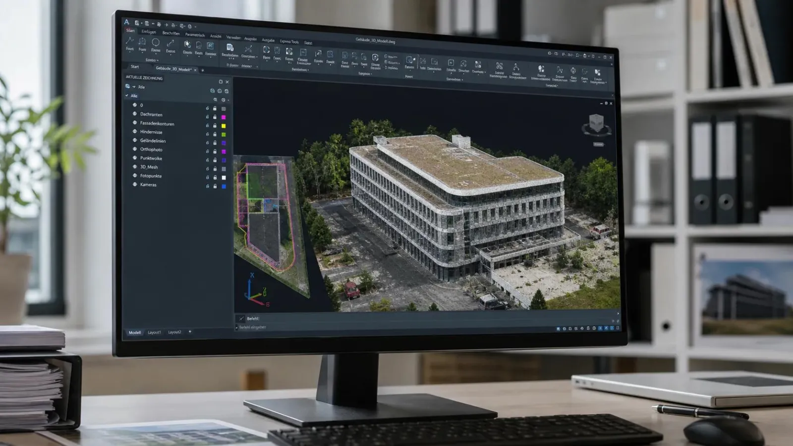
The processed information can be converted into detailed 3D models, elevation maps, and other project-specific outputs.
These models allow users to visualize structures, examine terrain, and compare site conditions.
5. Analysis and Delivery
The final stage involves quality checks and delivering the requested files.
Depending on the project, clients may receive CAD-compatible data, GIS layers, point clouds, or interactive 3D models.
A professional provider should also explain the coordinate system, accuracy limitations, and intended use of the data.
Drone LiDAR vs. Photogrammetry: What's the Difference?
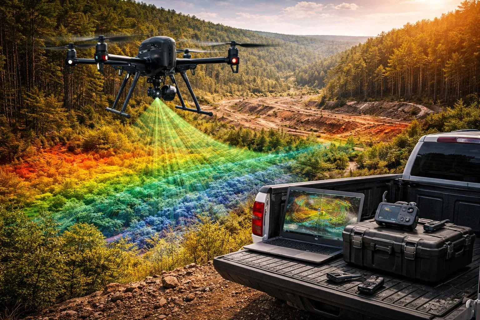
Two technologies are commonly used in drone 3D mapping: photogrammetry and LiDAR.
Drone Photogrammetry
Photogrammetry uses overlapping photographs to reconstruct three-dimensional surfaces.
It works particularly well when objects and terrain are clearly visible.
Common advantages include:
- Detailed visual textures
- High-resolution aerial imagery
- Useful models of buildings and exposed terrain
- Potentially lower equipment costs
However, photogrammetry can struggle with reflective surfaces, repetitive textures, poor lighting, and terrain hidden beneath dense vegetation.
Drone LiDAR Scanning
LiDAR uses laser measurements to calculate distances and build three-dimensional point clouds.
One important advantage is its ability to collect some ground measurements through gaps in vegetation.
This makes drone LiDAR scanning particularly useful for certain forestry, utility corridor, and terrain mapping projects.
However, LiDAR does not automatically guarantee better accuracy. Sensor calibration, positioning quality, flight conditions, and data processing remain essential.
Which should you choose?
Photogrammetry is often a practical option for visual 3D models and open construction sites. LiDAR may be more suitable when vegetation or complex terrain makes camera-based reconstruction difficult.
Some projects benefit from combining both technologies.
Five Major Applications of Drone 3D Scanning Services
1. Construction Site Monitoring
Construction teams need reliable information about how a project is progressing.
Construction drone surveying can help document site conditions, monitor earthworks, and compare changes between different project stages.
For example, a contractor managing a large development site may use recurring drone scans to compare actual terrain conditions with design plans.
This can help identify potential discrepancies before they become larger problems.
2. Land Surveying and Site Planning
Drone site mapping provides a broad view of land features, elevations, and surface conditions.
Engineers and planners can use this information during feasibility assessments, preliminary design, and land development planning.
However, drone-derived measurements do not automatically replace legally required boundary surveys or licensed professional surveying.
3. Mining and Stockpile Measurement
Mining and aggregate operations often need to estimate stockpile volumes and monitor changes in excavation areas.
Drone-generated surface models can support volume calculations when suitable reference surfaces and quality controls are used.
Repeated scans can also help operations teams document material movement and changing site conditions.
4. Infrastructure Inspection
Bridges, industrial facilities, communication towers, and other infrastructure assets can be difficult to inspect.
Drone scanning helps create visual records and digital models that support condition assessments and maintenance planning.
For complex structures, drones may need to be combined with ground-based scanning to capture surfaces that aerial sensors cannot see.
5. Environmental and Terrain Mapping
Environmental consultants can use aerial scanning to monitor erosion, assess drainage patterns, and document landscape changes.
LiDAR-based terrain models can be particularly valuable in areas with vegetation, provided enough laser measurements reach the ground.
These applications support better environmental analysis and long-term site monitoring.
Key Benefits of Drone 3D Scanning
Faster Data Collection
Drones can cover large or difficult-to-access areas efficiently, reducing the amount of time required for some field activities.
The overall project timeline still includes planning, permissions, processing, and quality checks.
Improved Site Visibility
Detailed 3D models help teams understand terrain and structures from perspectives that may be difficult to obtain on the ground.
This can improve communication between engineers, contractors, and project stakeholders.
Reduced Exposure to Hazards
Remote data collection can reduce the need for personnel to enter certain hazardous areas.
However, drone operations introduce their own safety requirements and must be conducted responsibly.
Better Project Documentation
Regular scanning creates a visual and spatial record of changing site conditions.
These records can support progress reporting, design coordination, and future project reviews.
More Informed Decisions
The greatest benefit of drone scanning is often the information it provides.
When properly collected and interpreted, accurate spatial data can help teams identify problems, plan activities, and allocate resources more effectively.
How Much Do Drone 3D Scanning Services Cost?
There is no single price that applies to every drone scanning project.
The total cost depends on several factors:
Project size: Larger areas generally require more flight time and processing.
Scanning technology: LiDAR systems may cost more to deploy than standard camera-based photogrammetry systems.
Site complexity: Difficult terrain, obstacles, restricted airspace, and challenging access conditions can increase operational requirements.
Accuracy requirements: Projects requiring survey-grade positioning, ground control, and independent accuracy verification involve additional work.
Deliverables: A basic orthomosaic may require less processing than a detailed 3D point cloud, terrain model, and CAD-ready dataset.
Project frequency: Recurring scanning programs may have different pricing structures from one-time assignments.
When requesting a quotation, businesses should clearly define the project area, expected outputs, accuracy requirements, and delivery schedule.
Comparing providers solely on the lowest price can be misleading if their deliverables and quality-control methods differ.
Drone as a Service: An Alternative to Buying Equipment
Some organizations need aerial scanning regularly, while others require it only for specific projects.
Purchasing a drone is not always the most practical solution.
In addition to equipment costs, businesses may need trained pilots, specialized sensors, software subscriptions, insurance, maintenance, and regulatory compliance.
Drone as a Service (DaaS) provides an alternative by allowing companies to hire professional drone operations when needed.
For businesses that only require occasional 3D scanning, outsourcing can reduce the need for upfront investment and internal training.
Organizations with frequent and predictable scanning requirements may find that developing an in-house capability offers greater operational control.
The right approach depends on workload, budget, expertise, and long-term objectives.
How to Choose the Right Drone Scanning Provider
Before selecting a service provider, ask a few practical questions.
What technology will be used?
The provider should explain whether photogrammetry, LiDAR, or a combination is suitable for the project.
How will accuracy be verified?
Ask about ground control points, check points, positioning methods, and accuracy reporting.
What files will be delivered?
Confirm that the outputs are compatible with your existing CAD, GIS, or project management software.
Does the provider understand local regulations?
Professional operators should be familiar with relevant aviation rules, permissions, and safety procedures.
Can the provider demonstrate relevant experience?
Review sample deliverables or previous projects with similar technical requirements.
A reliable provider should be transparent about both the capabilities and limitations of its scanning workflow.
Frequently Asked Questions
How accurate is drone 3D scanning?
Accuracy depends on the sensor, flight design, positioning system, ground control, processing, and site conditions. Well-controlled projects can achieve centimeter-level accuracy in suitable circumstances, but results must be independently verified against the project's requirements.
Can drones scan buildings in 3D?
Yes. Drones can capture exterior building geometry using photogrammetry or LiDAR. Ground-based scanning may still be needed for interiors, overhangs, and areas that cannot be observed from the air.
Is drone LiDAR better than photogrammetry?
Not necessarily. LiDAR is often useful for terrain mapping beneath vegetation, while photogrammetry can produce detailed visual models of exposed surfaces. The best choice depends on the project.
Can drone scanning replace traditional land surveying?
Drone scanning can complement traditional surveying, but it does not automatically replace licensed boundary surveys, ground verification, or other legally required measurements.
Final Thoughts
Drone 3D scanning services are giving businesses new ways to understand physical environments through detailed spatial data.
Whether the goal is monitoring construction progress, mapping terrain, measuring stockpiles, or documenting infrastructure, the technology can provide valuable insights when used appropriately.
The most successful projects begin with a clear objective, suitable scanning technology, and realistic accuracy expectations.
As drone technology continues to develop, businesses that understand how to use aerial data effectively will be better positioned to make informed decisions.
Have you used drone 3D scanning on a construction, surveying, or infrastructure project? What was the biggest benefit or challenge you experienced?






Responses (0)